Second Update of DigitalMatatus Now Live
October 8, 2019
The Digital Matatus team has just released the 2019 transit feed for the city of Nairobi. We have collected data on semi-formal bus transit in Nairobi since 2014 when we published the first semi-formal transit system map of the city. We have kept pace with the city’s growth and the rapid evolution of its road network by undertaking rigorous updates of our transit datasets every few years. With great support from students and faculty at the University of Nairobi and MIT, the Digital Matatus team has collected and verified more than 140 routes and 4,000 stops across the city.
In May 2019, team members reconvened in Nairobi to conduct a series of stakeholder workshops to procure feedback on our updated transit map. We were lucky to have a large group of Matatu conductors and drivers who operate in different areas of the city to share their local expertise with us and helped to improve the accuracy of our map and the associated data.
This is the third extensive data collection conducted by the team in the past six years, and while keeping our data up-to-date we are also beginning to accrue a historical database of Nairobi’s transit system. In the past two years, the matatu network has grown from 3,300 km to 3,550 km in length. The GIS and GTFS data from 2015, 2017, and 2019 can be accessed here on the DigitalMatatus site.
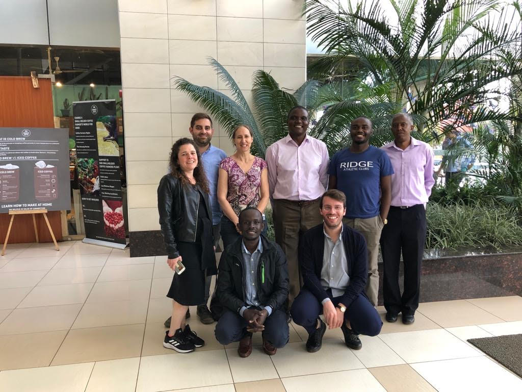
The Digital Matatus Team meets in Nairobi in May 2019.
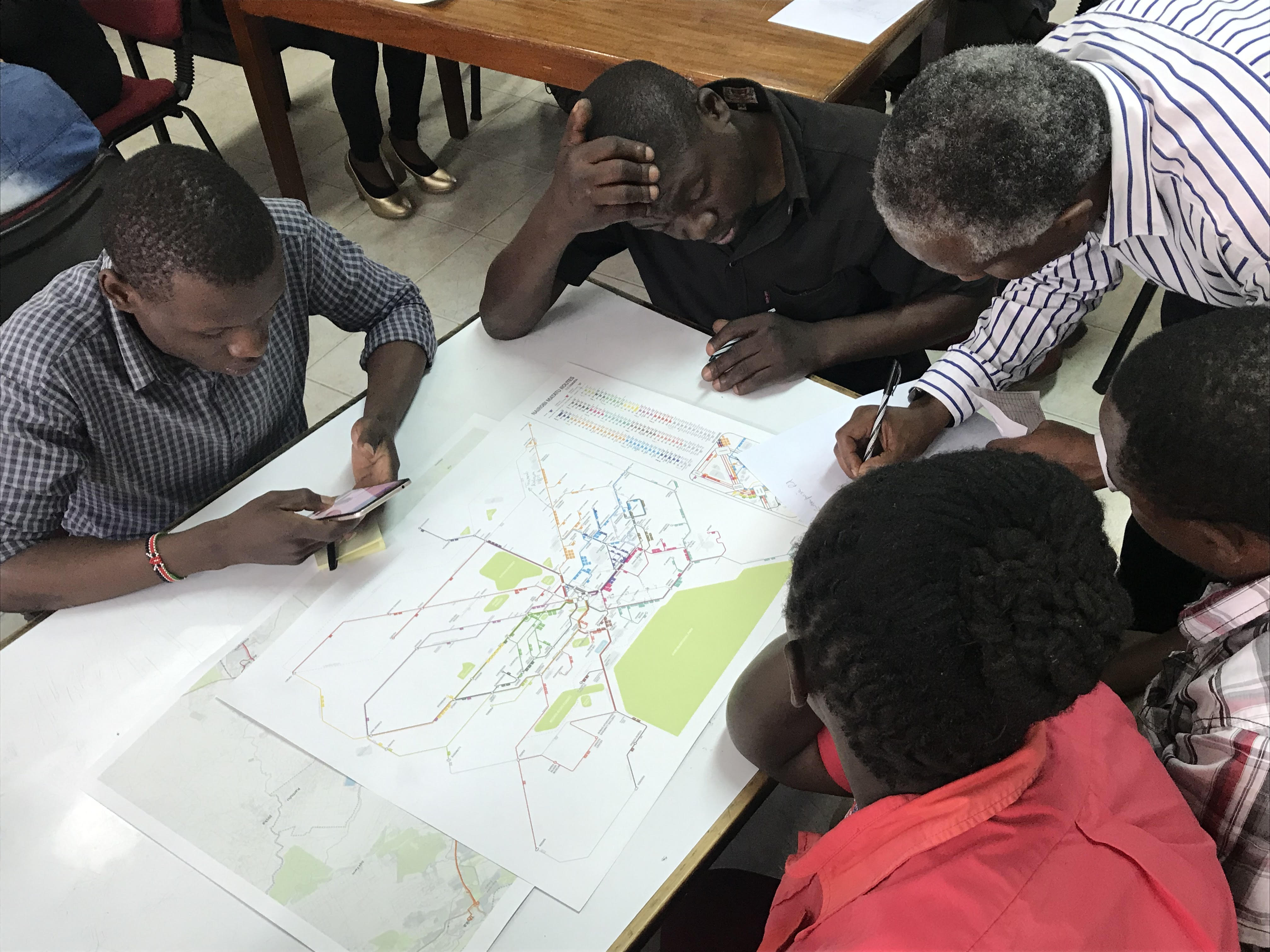
Workshop with Matatu drivers and conductors at the University of Nairobi.
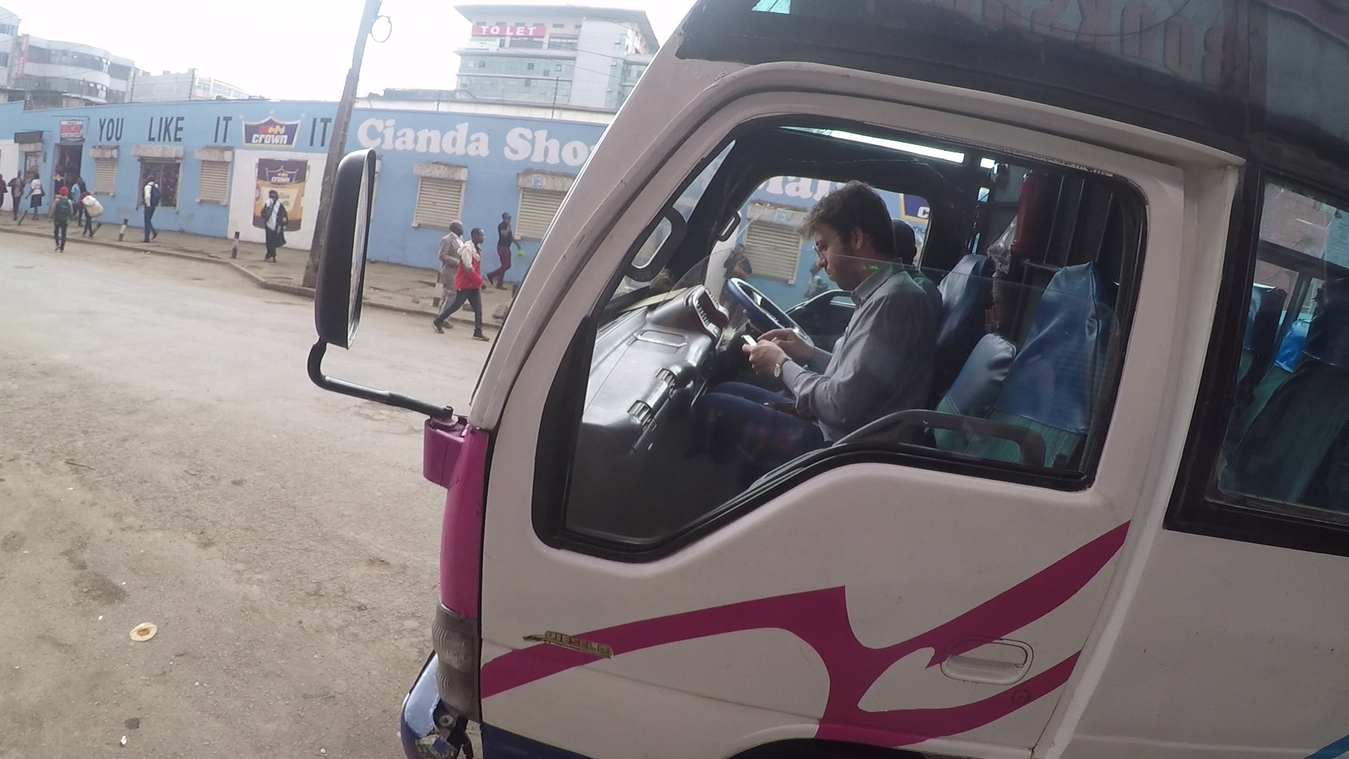
Research Associate Carmelo Ignaccolo while recording matatus’ data.
go back